Carte General de la Caroline…
Dublin Core
Title
Carte General de la Caroline…
Subject
North Carolina--Maps
Description
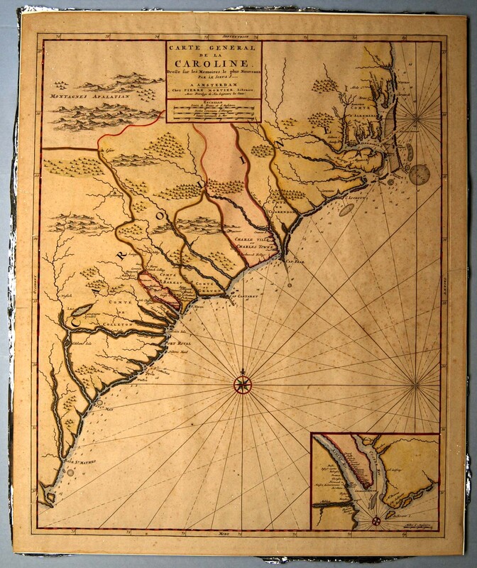
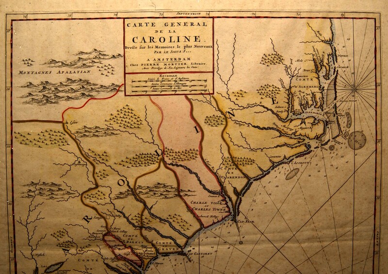
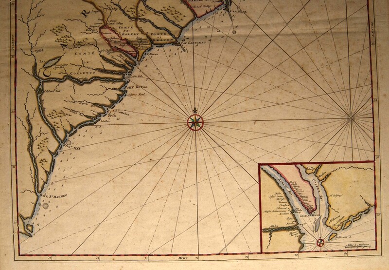
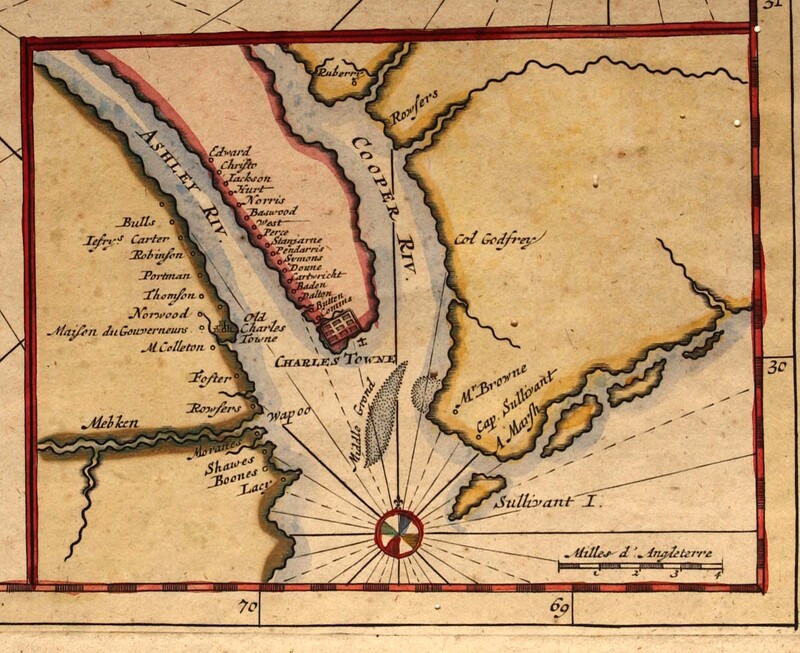
Engraved map: Carte General de la Caroline Dresse fur les Memoires le plus Nouveaux Par le Sieua S[anson] A Amsterdam. Chez Pierre Mortier Libraire Avec Privilege de Nos Seigneurs les Etats [cartouche] | Inset of Charles Town harbor showing the Cooper and Ashley Rivers [inset, lower right]
Based on the Thorton-Morden-Lea map (ca. 1685), Sanson’s map eliminated the list of settlers and substituted Gallic place names for English ones. The map was first published in Nicolas Sanson’s Atlas Nouveau Contenant Toutes Les Parties du Monde [New atlas containing all parts of the world], Paris 1696, No. 22. Sanson’s map was also included in editions of the French Neptune, made for the kings of Portugal, France, England, etc. Pieter Mortier published this example in Amsterdam. One unusual feature is the placement of Charles Town on both the Cape Fear River and at the junction of the Ashley and Cooper Rivers. On the inset of “Charles Town,” several property owners are named.
Nicolas Sanson (1600-1667) was born in Abbeville, France, and died in Paris. He was the creator of the French school of cartography and the founder of one of the great European cartographical families. In 1638 he established a printing business in Paris and after 1640 served as geographer to the king. His maps were first gathered in atlas format about 1645. Although under the influence of the Dutch school, his work exhibits a more scientific attitude, reducing the decorative elements and increasing the number of informative geographical notes. Sanson was succeeded by his sons Adrien and Guillaume, and his son-in-law Pierre Duval, who continued until the end of the century to put out a prolific stream of maps under Sanson’s name. Toward the end of the seventeenth century, Sanson’s plates were bought by Alexis Hubert Jaillot, who published the maps in his atlases without removing Sanson’s name. Dutch, German and English cartographers copied his maps until well into the eighteenth century.
Creator
Sanson, Nicholas
Source
Tryon Palace
Publisher
Mortier, Pierre
Date
1702-1705
Rights
Permission to use the photograph must be obtained in writing from Tryon Palace Historic Sites & Gardens, New Bern, North Carolina. It must be accompanied by the caption” From the collection of Tryon Palace Historic Sites & Gardens, New Bern, North Carolina; North Carolina Department of Cultural Resources, Division of Archives and History.”
Format
jpg
Language
French
English
Type
Maps
Identifier
TP.1959.055.008
Coverage
North Carolina
South Carolina
Still Image Item Type Metadata
Original Format
Maps
Physical Dimensions
Paper: 24 1/16” X 20”
Plate: 22 3/8” X18 3/8”
Image: 22 5/16” X 18 1/8”
Inset: “Charles Town Harbour” Size: 4 3/8” X 5 ¾”
Plate: 22 3/8” X18 3/8”
Image: 22 5/16” X 18 1/8”
Inset: “Charles Town Harbour” Size: 4 3/8” X 5 ¾”
Collection
Citation
Sanson, Nicholas, “Carte General de la Caroline…,” Craven County Digital History, accessed February 19, 2026, https://kellenberger.mycprl.org/digital/items/show/621.
Position: 45 (121 views)


