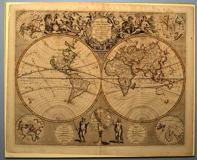
A New Map of the World from the Latest Observations…
Dublin Core
Title
A New Map of the World from the Latest Observations…
Subject
World maps
Description
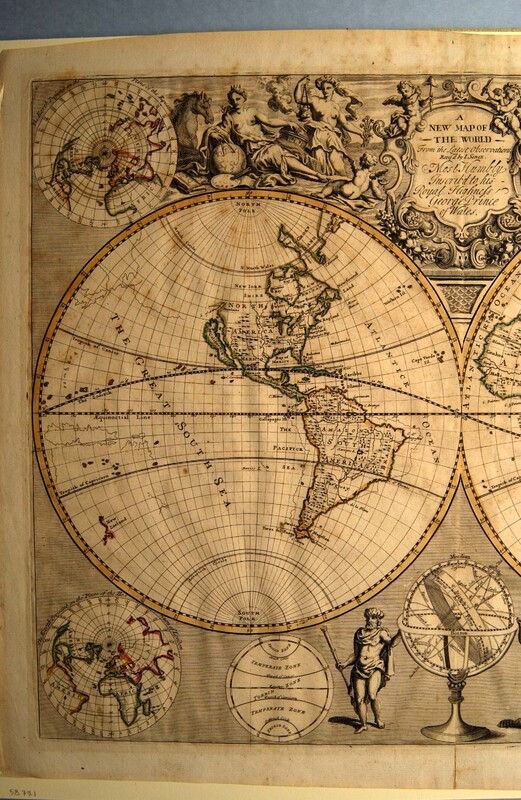
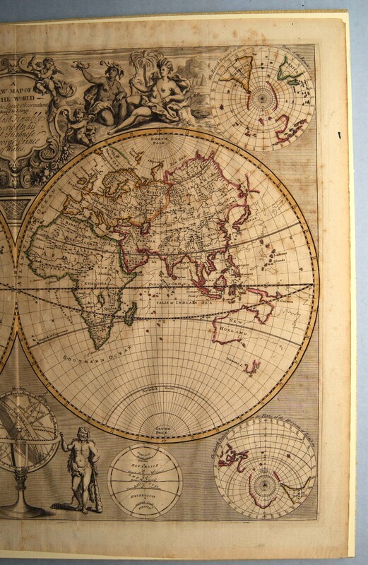
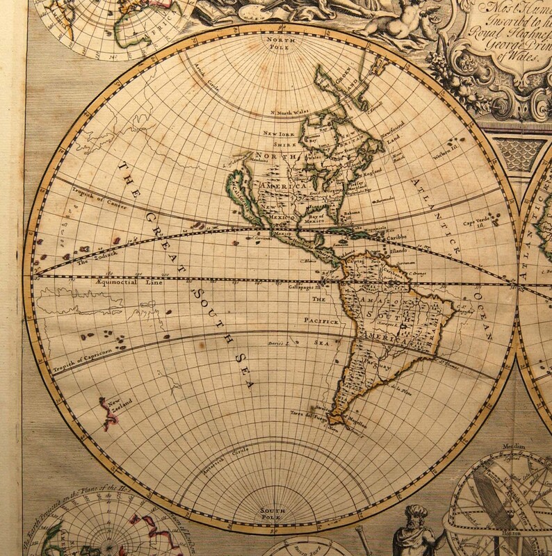
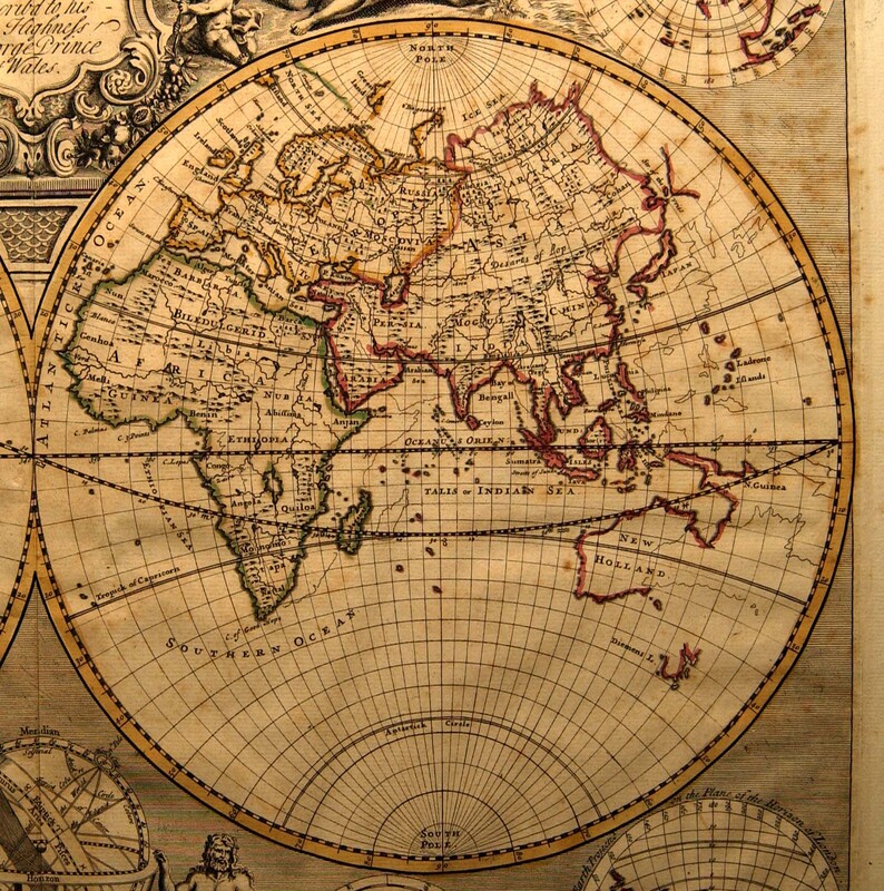
Hand-colored, engraved map: A NEW MAP OF THE WORLD from the Latest Observations. Revis’d by I. Senex. Most Humbly Inscribed to his Royal Highness George Prince of Wales. [cartouche, center top] | Cartouche flanked by putti and representations of the four continents—Asia and Europe on the left and Africa and America on the right. Below are two large hemispheres showing North and South America (left) and Europe, Africa, Asia and New Holland [Australia] (right). At the center bottom is a globe on a stand flanked by male classical figures. Globes in the upper corners illustrate “The Earth projected on the Plane of the Equator;” those in the lower corner show “The Earth Projected on the Plane of the Horizon of London.” The laid paper has two watermarks: “A B” and the top of a column with capital.
John Senex (fl 1700-1740) operated initially from premises in Cornhill, London, and later at the Globe, Salisbury Court, off Fleet Street. In 1719 he issued a handy-sized road book containing strip maps, similar to those by John Ogilby (1600-1676), but without ornamentation. He also engraved a set of large maps of various parts of the world.
John Senex (fl 1700-1740) operated initially from premises in Cornhill, London, and later at the Globe, Salisbury Court, off Fleet Street. In 1719 he issued a handy-sized road book containing strip maps, similar to those by John Ogilby (1600-1676), but without ornamentation. He also engraved a set of large maps of various parts of the world.
Creator
Senex, John
Source
Tryon Palace
Publisher
Unknown
Date
1721?
Rights
Permission to use the photograph must be obtained in writing from Tryon Palace Historic Sites & Gardens, New Bern, North Carolina. It must be accompanied by the caption” From the collection of Tryon Palace Historic Sites & Gardens, New Bern, North Carolina; North Carolina Department of Cultural Resources, Division of Archives and History.”
Format
jpg
Language
English
Type
Maps
Identifier
TP.1958.073.001
Coverage
Earth
Still Image Item Type Metadata
Original Format
Maps
Physical Dimensions
Paper: 18 ½” X 23 ½”
Plate: 16 ¾” X 21 ¼”
Image: 16 9/16” X 21 3/16”
Plate: 16 ¾” X 21 ¼”
Image: 16 9/16” X 21 3/16”
Collection
Citation
Senex, John, “A New Map of the World from the Latest Observations…,” Craven County Digital History, accessed February 19, 2026, https://kellenberger.mycprl.org/digital/items/show/609.
Position: 545 (34 views)
