Antigua
Dublin Core
Title
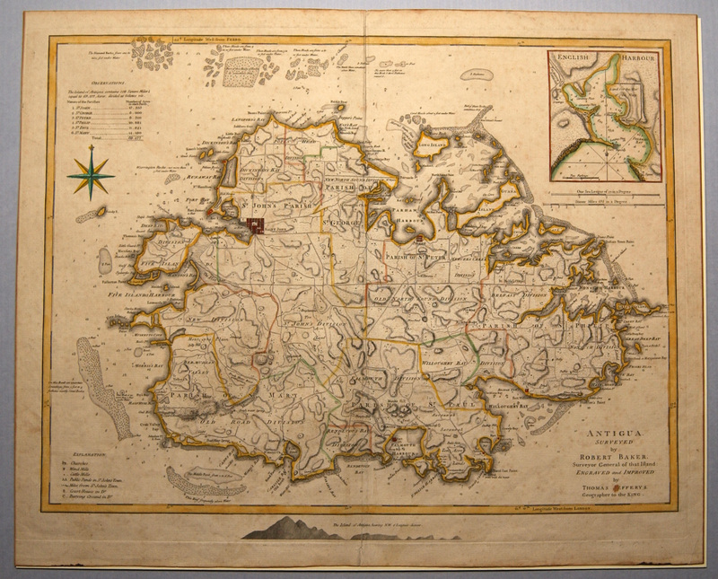
Antigua
Subject
Antigua and Barbuda--Maps
Description
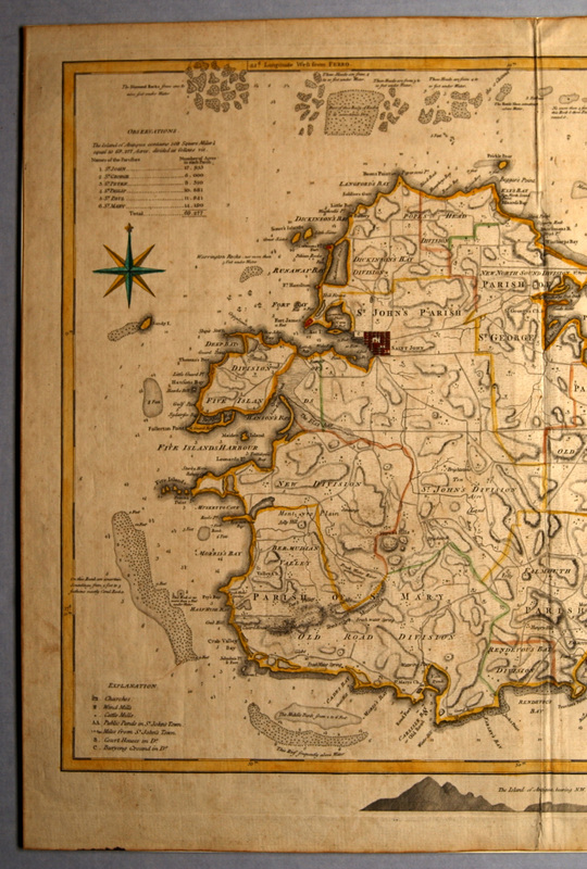
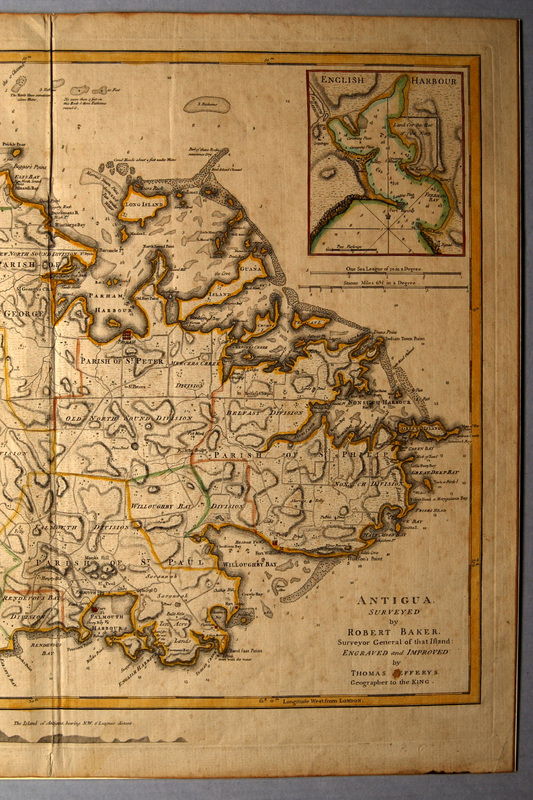
Engraved map made of two joined sheets: Antigua Surveyed by Robert Baker Surveyor General of that Island by Thomas [J]efferys Geographer to the King. [title, lower right inside neat line]
Thomas Jefferys (ca. 1710-1771) was an engraver, geographer, and publisher in London from 1732 to 1750. One of the most prolific and important English map publishers of the eighteenth century, he was appointed geographer to Frederick Prince of Wales in 1748 and later to George III. His earliest known work was a Plan of London and Westminster in 1732. He collaborated with Thomas Kitchin in the production of a Small English Atlas (1749) and with Parsons & Bowles on a Map of Staffordshire (1747). Between 1751 and 1768 Jefferys produced a series of important maps on America and the West Indies. Culminating the publication of a volume on The Spanish Island and the West Indies (1762) and Topography of North America and the West Indies (1768). Between 1765 and `770, Jefferys surveyed and engraved several large-scale English county maps. The expenses incurred in these ventures may have led to his bankruptcy in 1765, when Robert Sayer acquired a large part of his interests. Sayer, in conjunction with Bennet, published much of Jefferys’ work posthumously, notable his American Atlas, American Pilot, and West Indian Atlas, all in 1775.
Thomas Jefferys (ca. 1710-1771) was an engraver, geographer, and publisher in London from 1732 to 1750. One of the most prolific and important English map publishers of the eighteenth century, he was appointed geographer to Frederick Prince of Wales in 1748 and later to George III. His earliest known work was a Plan of London and Westminster in 1732. He collaborated with Thomas Kitchin in the production of a Small English Atlas (1749) and with Parsons & Bowles on a Map of Staffordshire (1747). Between 1751 and 1768 Jefferys produced a series of important maps on America and the West Indies. Culminating the publication of a volume on The Spanish Island and the West Indies (1762) and Topography of North America and the West Indies (1768). Between 1765 and `770, Jefferys surveyed and engraved several large-scale English county maps. The expenses incurred in these ventures may have led to his bankruptcy in 1765, when Robert Sayer acquired a large part of his interests. Sayer, in conjunction with Bennet, published much of Jefferys’ work posthumously, notable his American Atlas, American Pilot, and West Indian Atlas, all in 1775.
Creator
Baker, Robert
Source
Tryon Palace
Publisher
Jeffers, Thomas, engraver
Date
1768?
Format
jpg
Language
English
Type
Maps
Identifier
TP.1959.021.048
Coverage
Antigua, West Indies
Still Image Item Type Metadata
Original Format
Maps
Physical Dimensions
Paper- 21 3/8” X 26 3/16”
Plate- 19 ½” X 25 5/8” (trimmed to left plate mark)
Image- 18 ¼” X 24 ¼”
Plate- 19 ½” X 25 5/8” (trimmed to left plate mark)
Image- 18 ¼” X 24 ¼”
Collection
Citation
Baker, Robert, “Antigua,” Craven County Digital History, accessed February 18, 2026, https://kellenberger.mycprl.org/digital/items/show/616.
Position: 75 (115 views)


